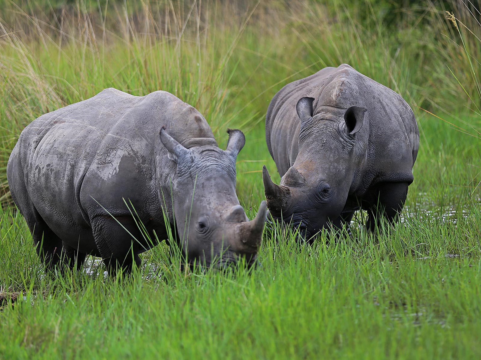
1-Day Rhino Tracking Trip to Ziwa Rhino Sanctuary
April 4, 2025
3-Day Congo and Burundi Tour
April 4, 20257-Day Rwenzori Mountains Trek to Margherita Peak
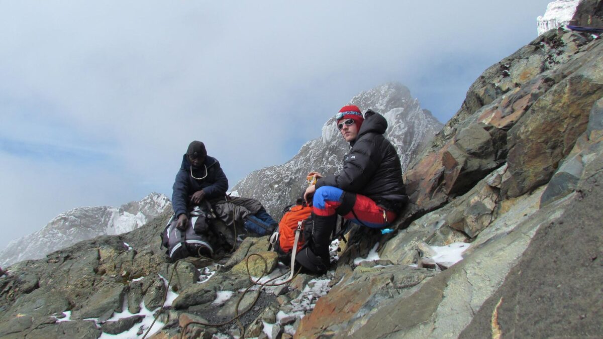
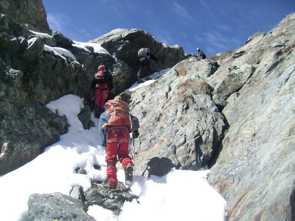
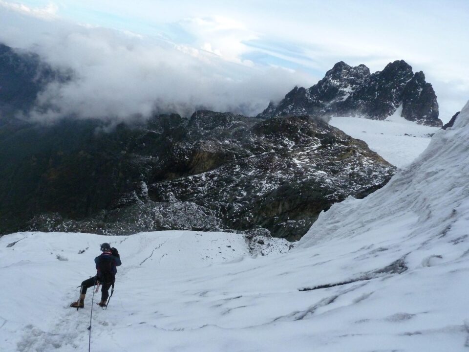
Reaching Margherita Peak (5,109 meters) on the Rwenzori Mountains in just seven days is absolutely possible—but it’s a serious adventure. This route is now considered technical due to rapidly changing glacier conditions caused by climate change. Climbers must navigate steep ice sections (up to 60% incline), and knowledge of ropes, crampons, ascenders, figure-8 descenders, and ice axes is highly recommended.
Our experienced guides are fully trained in ice climbing and rescue techniques. They can safely guide trekkers with limited mountaineering experience, but you should be ready to learn essential skills on the trail. At a minimum, you’ll need to know how to fit your own crampons, tie basic knots, and use a figure-8 and ascender.
We also recommend bringing your own crampons, especially for climbing Mount Baker or Mount Speke. The mix of hard ice and exposed rock makes it difficult to maintain shared equipment.
Important Safety Information
While this 7-day ascent to Margherita Peak is achievable, we want to stress that ascending more than 500 meters in elevation per day significantly increases the risk of altitude sickness, including High Altitude Pulmonary Edema (HAPE) and High Altitude Cerebral Edema (HACE)—both of which are serious conditions. Even if you’re extremely fit or have summited other peaks before, the altitude in the Rwenzoris can still affect you. Unless you’ve acclimatized within the last two weeks, your prior climbs won’t provide much advantage.
That’s why we strongly recommend the 8-day itinerary for better acclimatization and safety. The cost is the same, so we encourage trekkers to base their decision on fitness and comfort, not price. Remember: altitude doesn’t care how fit you are—it affects everyone differently.
Trekking in the Rwenzori Mountains is significantly tougher than Kilimanjaro or Mount Kenya. The terrain is more rugged, the climate more unpredictable, and the conditions more demanding. The 7-day trek is best suited for very fit individuals with prior trekking experience. We don’t recommend this version for larger groups, as it’s common for at least one person to struggle with the pace.
Trek Starting Point
The journey begins at Trekkers Hostel in Kyanjuki, Kilembe, located at 1,450 meters above sea level and 12 kilometers from Kasese town. Ideally, the trek starts at 9:00 AM (though a departure by 11:00 AM is still acceptable). From here, you walk 2.2 km to the UWA ranger post at 1,727 meters, where you’ll pay your park entrance fee and receive a briefing on the park’s rules and conservation efforts.
7-Day Rwenzori Mountains Trekking Itinerary to Margherita Peak
Day 1: Hike to Kalalama Camp (3,134 meters)
The trek begins through the lush Afro-Montane forest, where you’ll enjoy a steady climb surrounded by towering trees and a variety of birds. You might spot blue monkeys darting through the trees or large troops of black-and-white colobus monkeys. There’s also a chance to glimpse the elusive L’Hoest monkey—a symbol of local Bukonzo culture.
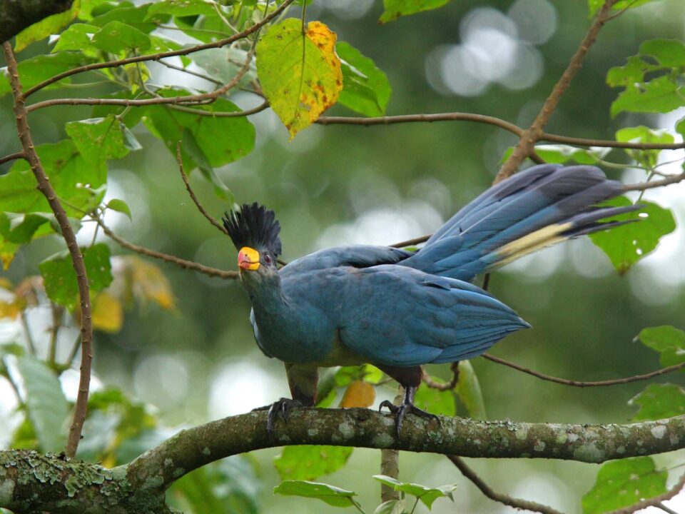
As the trail enters the Bamboo-Mimulopsis zone, the terrain becomes steeper with high steps. During the rainy season, this area gets muddy and slippery, but the magical forest atmosphere makes it worthwhile. Kalalama Camp, at 3,147 meters, lies in the Heather-Rapanea zone, surrounded by tall heather trees and home to the brilliant crimson-winged Rwenzori Turaco.
Day 2: Hike to Bugata Camp (4,100 meters)
Today’s trail skips Mutinda Camp and leads straight to Bugata Camp. You’ll follow ridges, descend valleys, and cross several streams and mossy waterfalls. The path winds alongside a scenic, moss-covered river under towering Giant Heather trees, draped in lichen and “old man’s beard.”
You’ll cross the Mutinda Valley, where Giant Lobelias and everlasting flowers dominate the landscape. A steep ascent leads to the Namusangi Valley (3,840 meters), which features dramatic waterfalls and sweeping views of Mutinda Peaks. After crossing more boggy terrain, you arrive at Bugata Camp at 4,062 meters, perched above Bugata Lake.
From here, enjoy views of Lake Kopello and Weismann’s Peak—often snow-capped—as well as distant sights of Lake Africa and Lake Kanganyika. Bugata Camp offers solar lighting, clean bathrooms, and even a helicopter pad in case of emergency (note: helicopter rescue in Uganda is extremely costly, around $10,000/hour—insurance is essential).
The area around camp is rich with unique flora including St. John’s Wort, Giant Groundsel, and Giant Lobelias. You may also spot the rare Red Forest Duiker, a sub-species found only in the Rwenzoris.
Day 3: Hike to Hunwick’s Camp (3,974 meters)
Trek over Bamwanjarra Pass (4,450 meters), which offers fantastic views of the Rwenzori’s main peaks. There’s a small shelter at the pass in case of bad weather. From here, the trail descends through valleys lined with thick moss, Giant Groundsel, and Lobelias. This area is an excellent spot to see the colorful Malachite Sunbird feeding among the flowers.
After some steep sections, the trail climbs gently to Hunwick’s Camp, located on a ridge with sweeping views of Mount Stanley, Mount Baker, Weismann’s Peak, and McConnell’s Prong.
Day 4: Hike to Margherita Camp (4,485 meters)
From Hunwick’s Camp, descend across the valley to Lake Kitandara, a stunning alpine lake surrounded by lush vegetation. Then ascend Scott Elliott’s Pass before climbing the final ridge to Margherita Camp at 4,485 meters. The camp is nestled among large rock outcrops, providing shelter from strong mountain winds. This historic site was the same location used by the Duke of Abruzzi during his 1906 expedition to Margherita Peak.
Day 5: Summit Day – Climb to Margherita Peak (5,109 meters)
The most thrilling and demanding day of the trek starts early—really early. You’ll wake up at 2:00 AM for a light breakfast and begin your summit attempt by 2:30 AM. This early start is essential due to rapidly changing mountain weather. Even during the traditionally dry months, heavy clouds and sudden snowstorms frequently roll in by early afternoon, often between 1:00 and 4:00 PM. These storms can come on fast, within 10–15 minutes, as moisture rises from the vast Congo rainforest.
In January and February 2017, several groups were caught in these unexpected storms, returning to camp well after dark—one group even arrived at 11:00 PM, completely exhausted. To prioritize safety, we’ve established a strict turnaround time of 10:00 AM. If you haven’t reached the summit by then, you’ll need to descend, regardless of how close you are. Your safety always comes first.
Due to climate change, the Margherita Glacier has become more challenging. The ice is steeper, with one section now reaching a gradient of over 60%. As the glacier recedes, hidden ice caves have formed beneath the surface, increasing the risk of collapse. For this reason, it’s critical to follow your guide’s instructions carefully—they know the safest routes.
For those with less technical mountaineering experience, there’s still an incredible alternative: climb up to the edge of Stanley Glacier and hike to a rocky outcrop on Alexandra Peak’s southern edge. From here, you’ll enjoy breathtaking panoramic views of the Congo and surrounding mountain ranges—without the technical challenges of the summit.
After a successful ascent (or glacier hike), you’ll descend directly to Hunwick’s Camp (3,874 meters) for a well-earned rest.
Day 6: Descend to Kiharo Camp (3,640 meters)
Distance: 11 km
Estimated Hiking Time: 4 to 7 hours
Leaving Hunwick’s Camp, the trail climbs toward McConnell’s Prong and offers spectacular views of Mount Stanley, Mount Speke, Mount Baker, and Scott Elliott’s Pass. From here, you’ll ascend to Oliver’s Pass (4,505 meters), a 3-kilometer stretch from camp.
From Oliver’s Pass, the path winds beneath Weismann’s Peak before descending to the Nyamwamba River—this river flows all the way through Kilembe and Kasese into Lake George, part of Queen Elizabeth National Park.
Optional Add-On: For an extra fee of $20 per person, you can summit Weismann’s Peak (4,620 meters) from Oliver’s Pass. On a clear day, this short detour rewards you with incredible views of the Rwenzori range, including Margherita, Mount Stanley, Speke, and Baker.
The trail continues down through lush valleys and rocky ridges formed by ancient glaciers. You’ll pass over unique glacial moraines—piles of stones and earth left behind as the glaciers slowly retreated. Eventually, you’ll reach Kiharo Camp, nestled in a dramatic valley surrounded by cliffs and dense forest.
Day 7: Final Descent to Basecamp (1,450 meters)
Distance: 12.2 km to the park gate + 2.8 km to Trekkers Hostel
Estimated Hiking Time: 5 to 8 hours
The final stretch of your Rwenzori adventure is nothing short of magical. The trail follows the beautiful Nyamwamba Valley, descending past moss-covered rocks, cascading waterfalls, deep forest canopies, and towering ridges. Many consider this section the most scenic part of the entire trek.
This trail took years to develop—six years, to be exact—as it weaves through challenging terrain that early explorers like geologist McConnell failed to navigate back in 1937. Now, it offers an accessible, unforgettable experience for modern trekkers.
Soon after leaving Kiharo Camp, the trail veers alongside the river, passing through forest clearings where you might spot a duiker feeding quietly or catch glimpses of primates in the trees. In drier conditions, you may even choose to follow the riverbed itself, hopping from rock to rock for a bit of fun.
Further downstream, the terrain becomes steeper with numerous waterfalls. To avoid this section, you’ll follow a narrow ridge before reconnecting with the river at a large natural rock shelter—a perfect place to rest. After crossing a small stream and climbing gently uphill, the trail descends once more to skirt around another impassable waterfall before arriving back at basecamp in Kilembe.
This final day is the perfect way to wrap up your journey—immersed in nature, surrounded by beauty, and full of stories to tell.
Best Time to Trek the Rwenzori Mountains and Climb Margherita Peak
You can trek the Rwenzori Mountains and summit Margherita Peak year-round, but the best time to go is during the dry seasons:
-
June to August
-
December to February
These months typically receive the least rainfall, which makes the trails less slippery and river crossings more manageable.
If you’re traveling in the wetter months—March to May or November—expect heavier rainfall and muddier conditions. That said, these off-peak seasons can be quieter and often come with discounted lodge rates, which can be a bonus for budget-conscious travelers.
Why Book Your Rwenzori Trek with Trek Africa Expeditions
At Trek Africa Expeditions, we organize meaningful, safe, and sustainable trekking experiences in Uganda and across East Africa. We’re a Ugandan-owned company with our headquarters in Entebbe, and we take pride in offering personalized service, expert guidance, and unforgettable journeys.
Here’s why trekkers choose us:
-
Trusted Experts in Rwenzori Trekking – We’ve helped countless adventurers successfully climb Margherita Peak.
-
Local Knowledge & Sustainability – Our guides are locals who know the mountains intimately and are passionate about conservation.
-
Registered & Reliable – We’re members of AUTO (Association of Uganda Tour Operators) and registered with UTB (Uganda Tourism Board).
-
Great Reviews – Trek Africa Expeditions is highly rated on TripAdvisor for professionalism, safety, and customer care.
-
Seamless Safari Planning – We can also help organize gorilla trekking permits and wildlife safaris to nearby national parks.
Ready to plan your trek to Margherita Peak?
Contact Trek Africa Expeditions here to start your adventure.

